Commercial Drone Services
We bring a multitude of advantages to the commercial real estate industry, including:
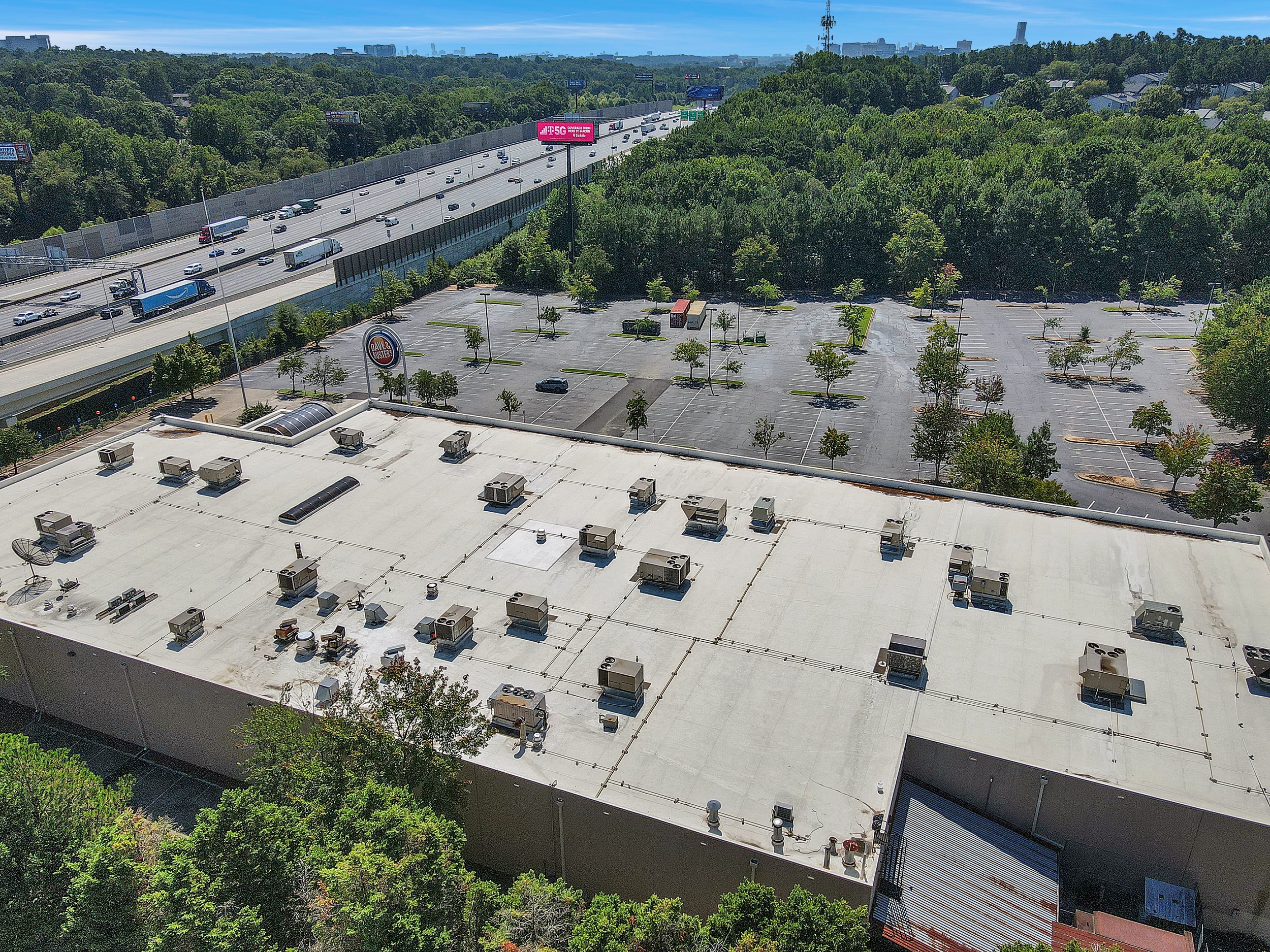
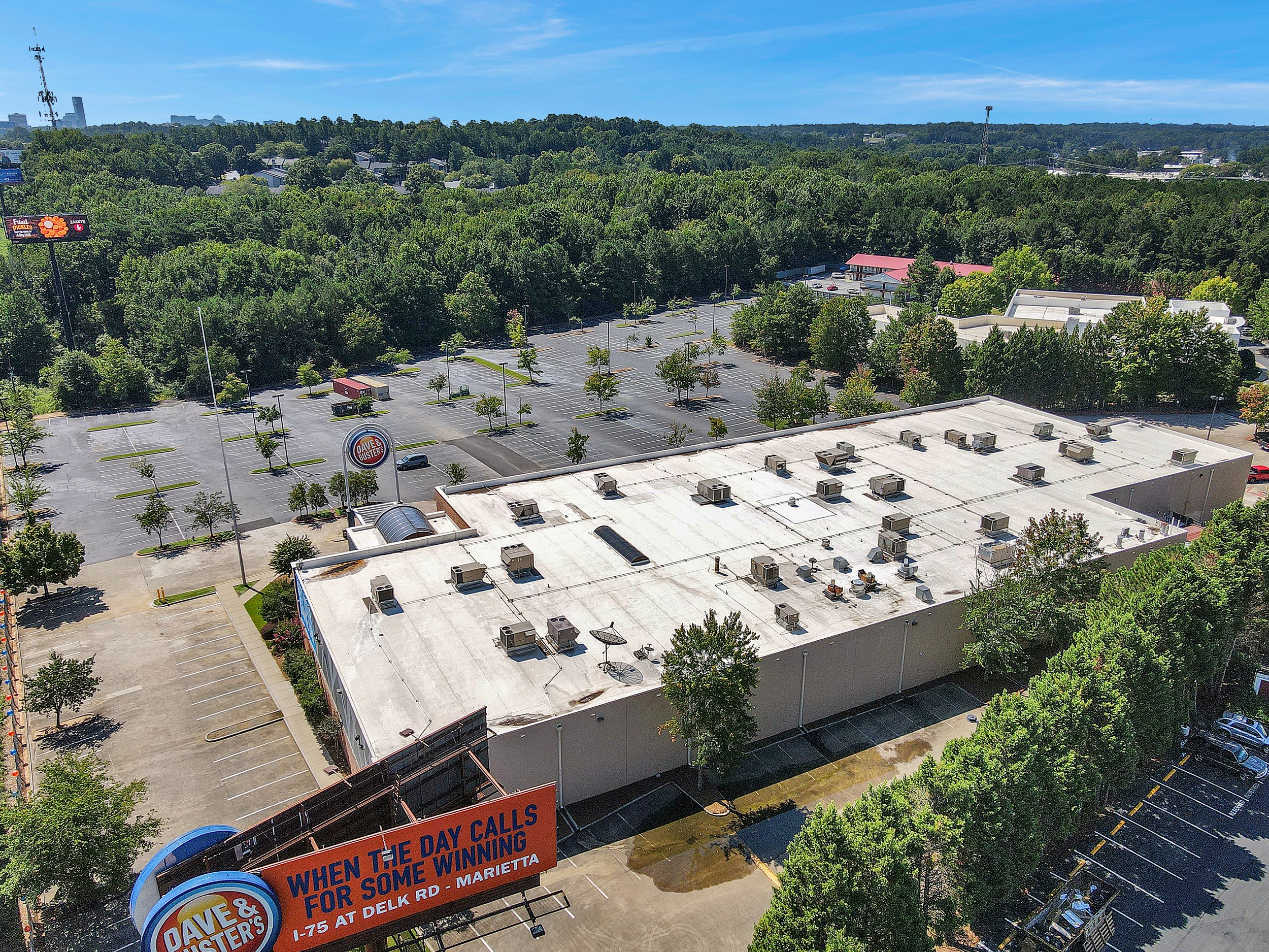
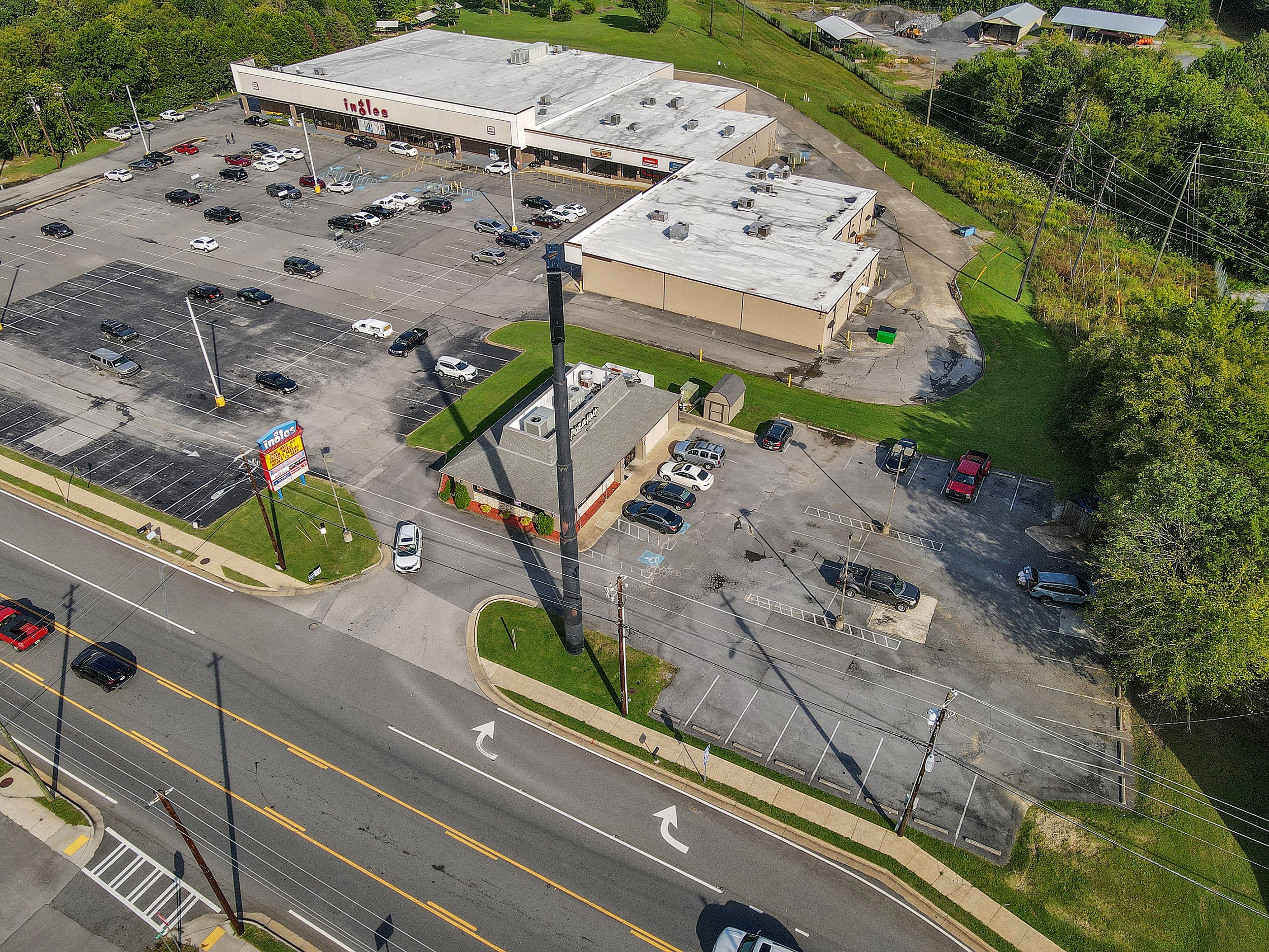
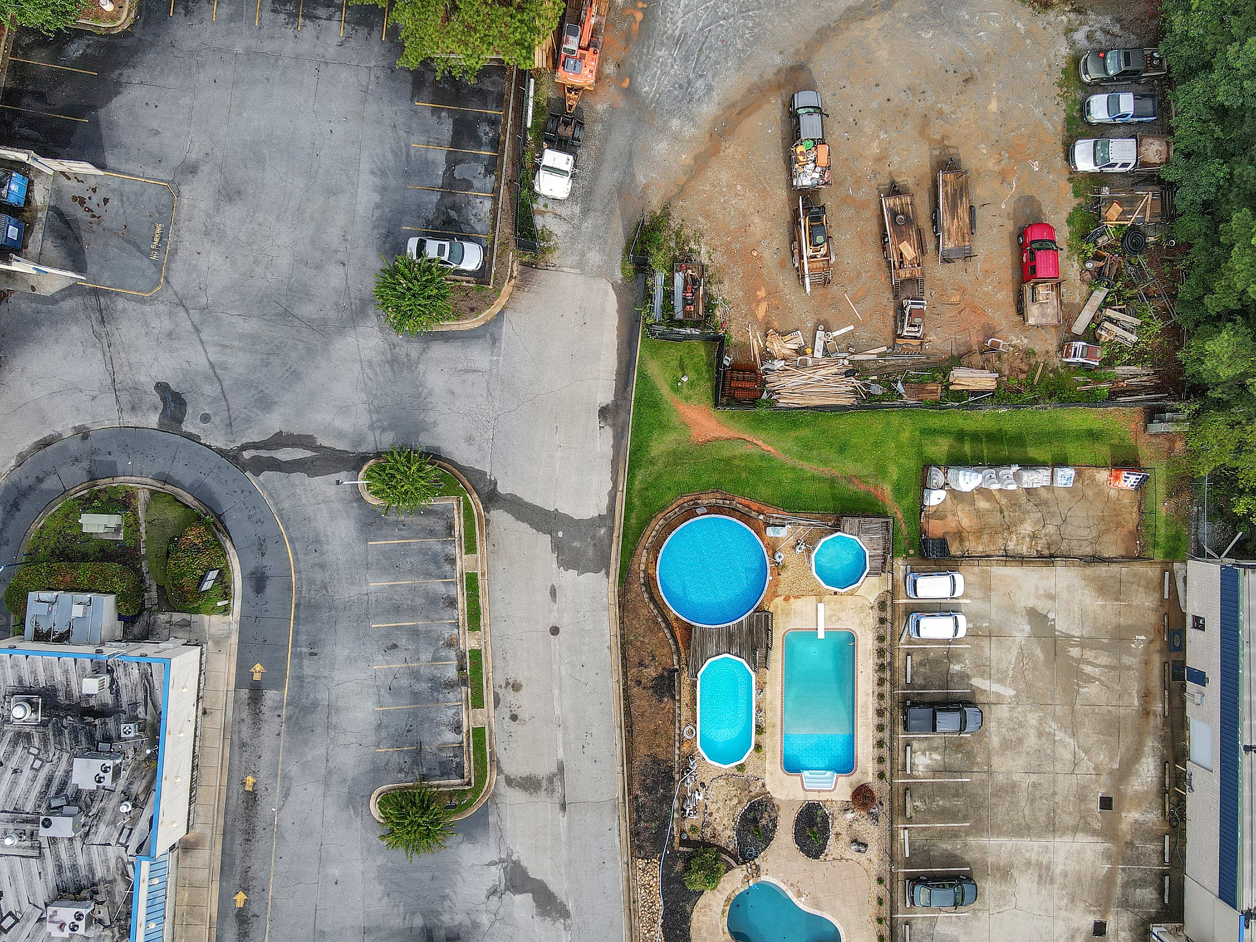
High-quality aerial photography and videography: Drones can capture high-resolution images and video footage of commercial properties, providing a comprehensive view of the property and its surroundings. This allows for more detailed property assessments and marketing materials.
Improved property inspection and assessment: Drones equipped with thermal imaging cameras can help identify potential issues in the property such as water damage or energy inefficiencies. This can save time and money by identifying problems early on in the process.
Efficient property management: Drones can be used to monitor and inspect commercial properties remotely, allowing for quicker identification and resolution of issues. This can lead to more efficient property management and reduced costs.
Enhanced safety: Drones can access hard-to-reach areas of commercial properties, such as roofs or high-rise windows, reducing the need for manual inspections and increasing safety for workers.
Competitive advantage: The use of drones in commercial real estate can provide a competitive advantage by allowing for unique and engaging marketing materials that showcase the property in a way that traditional methods cannot.
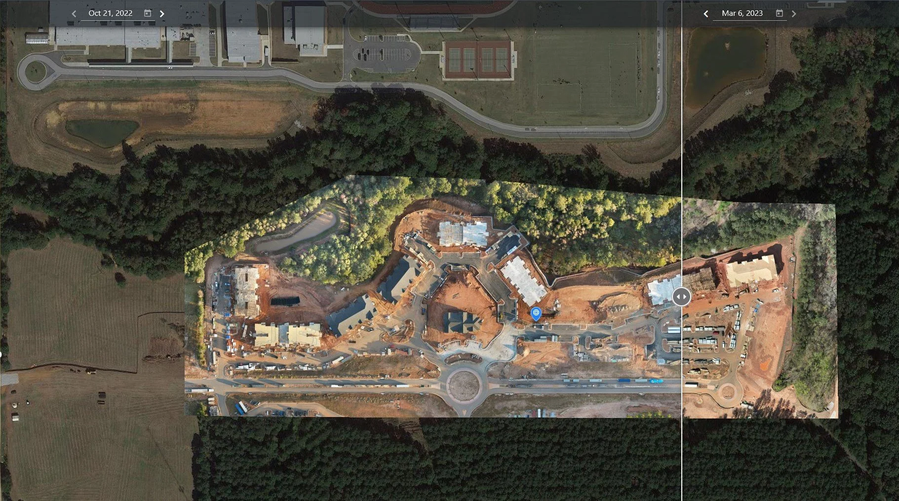
Increased transparency: Drones can provide real-time updates on the construction progress of commercial properties, giving stakeholders and investors increased transparency into the project.
The use of drones in the commercial industry is a game-changer, providing a multitude of benefits that enhance operations, safety, and efficiency. From aerial photography and property assessments to remote monitoring and construction updates, drones offer unique insights and advantages that can save time, money, and resources. By utilizing drones, businesses can stay ahead of the competition and take their operations to new heights.
Construction Monitoring Services
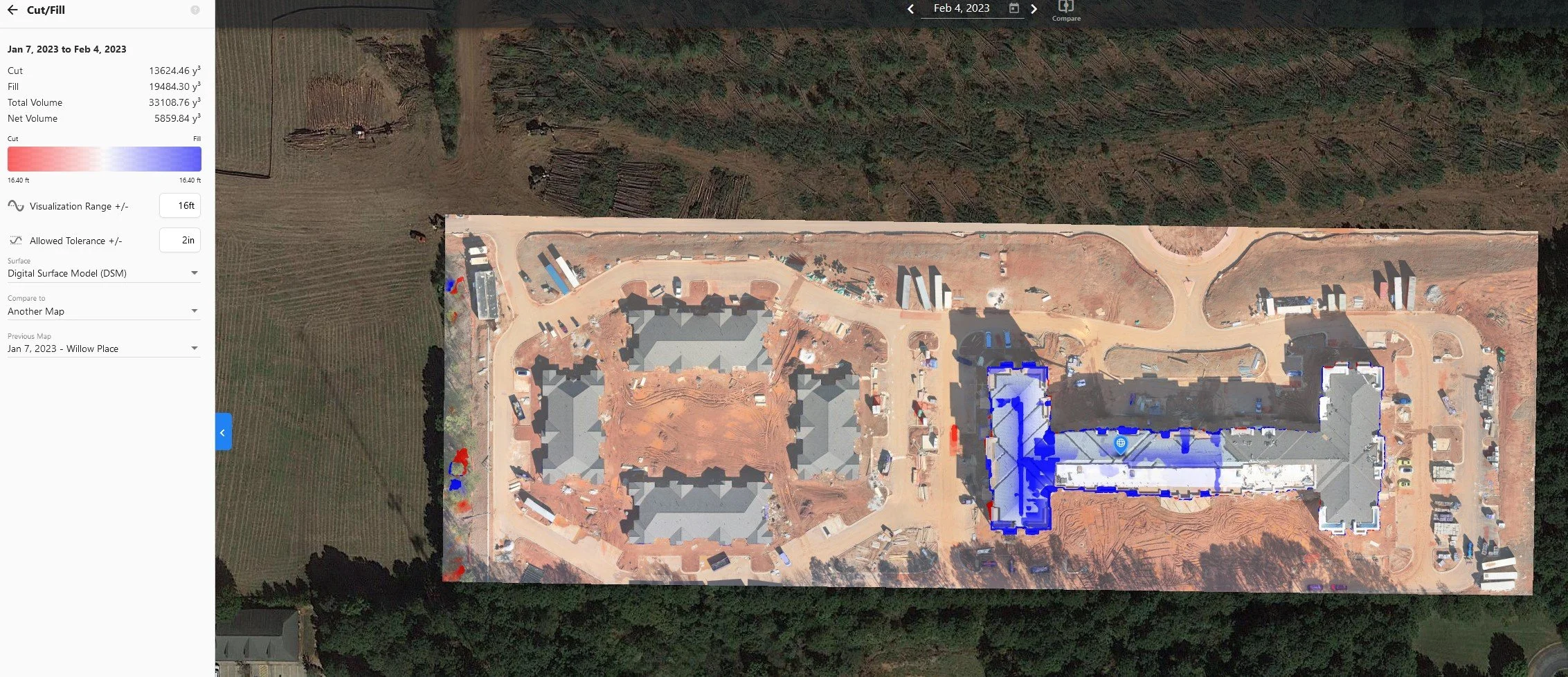
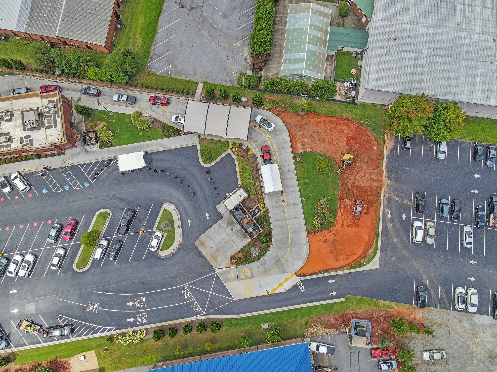
Construction monitoring using a drone involves the use of unmanned aerial vehicles (UAVs) to capture high-resolution images and video footage of a construction site at various stages of the project. The drone is equipped with a camera and other sensors that enable it to fly over and around the construction site, capturing data that can be used to assess progress, identify potential issues, and provide updates to stakeholders.
The data captured by the drone can be used to create 3D models, maps, and other visualizations that give stakeholders a comprehensive view of the construction site. This information can be used to monitor progress, evaluate the quality of work, and identify potential safety hazards. Additionally, the data can be used to streamline operations, reduce costs, and improve project management by providing real-time updates and insights.
Construction monitoring using a drone provides a unique perspective that allows stakeholders to stay informed and make better decisions throughout the construction process. It also provides a safer, more efficient, and cost-effective way to monitor construction sites, saving time and resources while ensuring project success.
Drone Mapping and 2-D Orthomosaic Maps
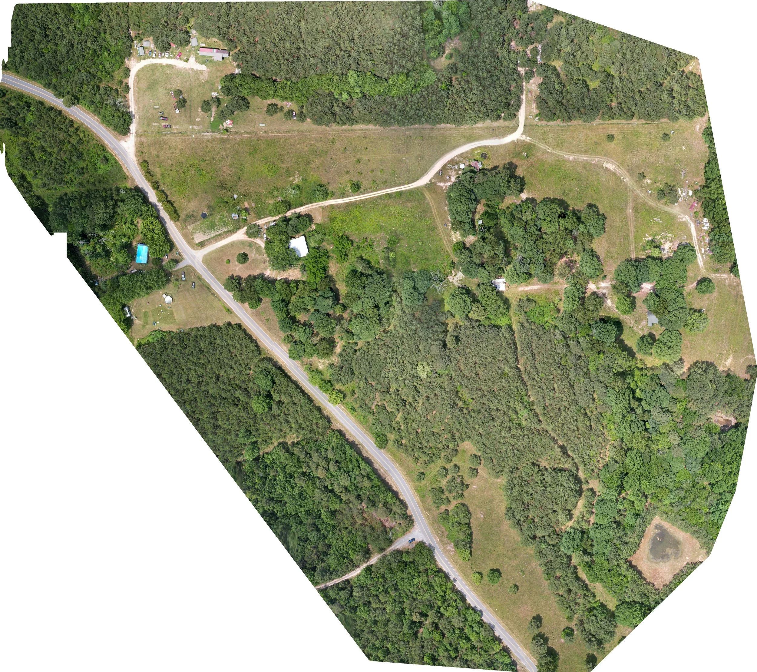
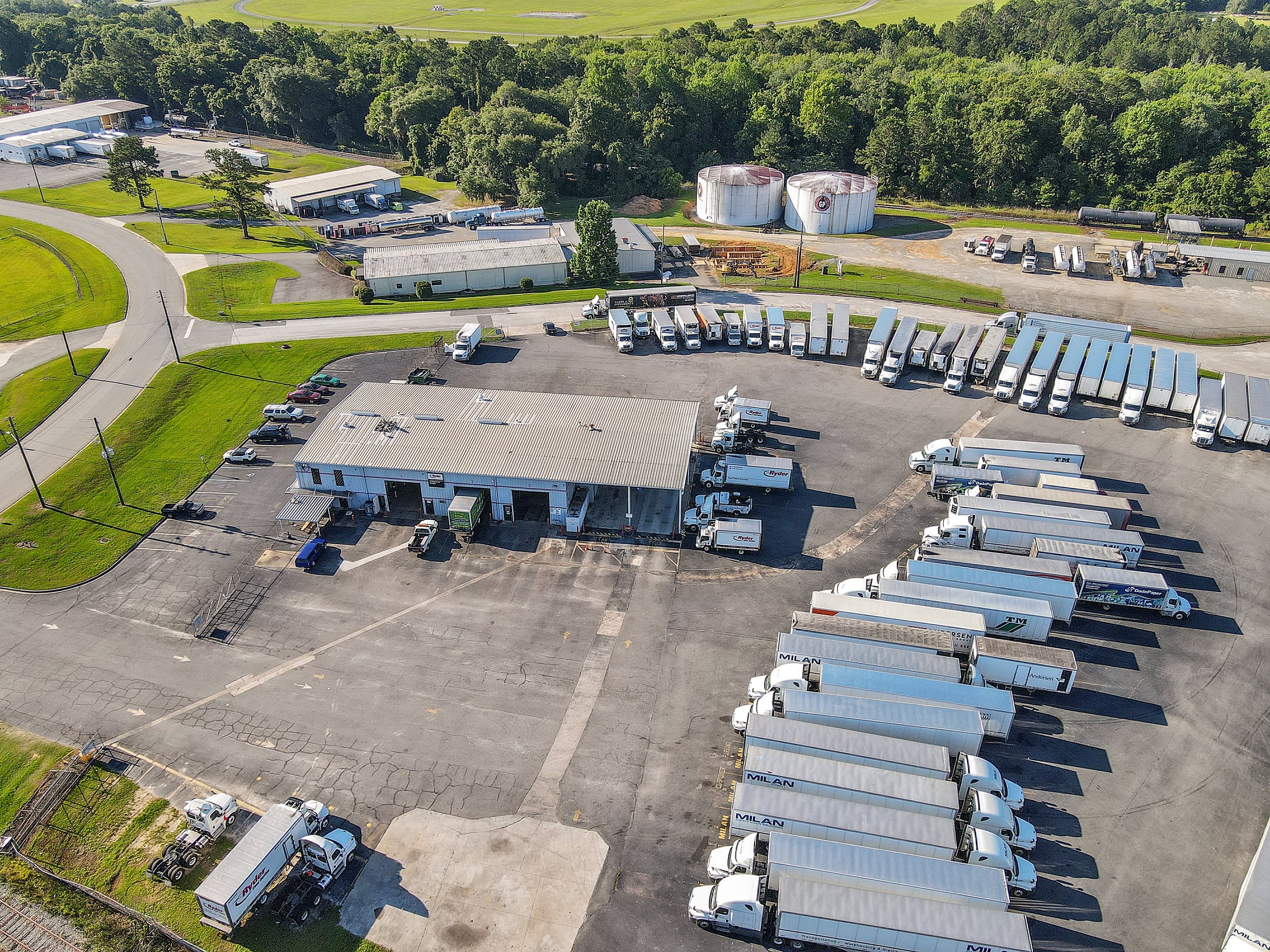
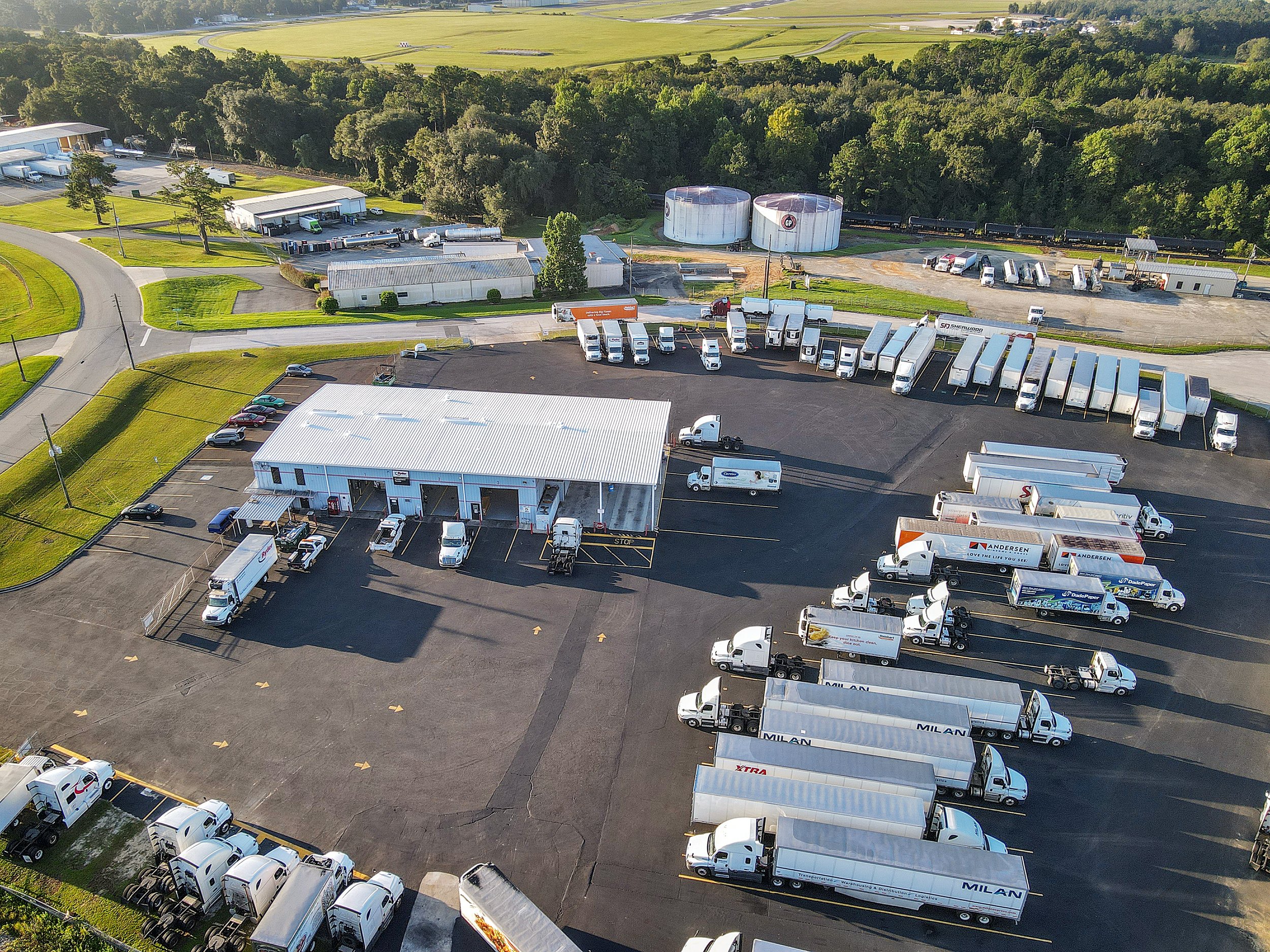
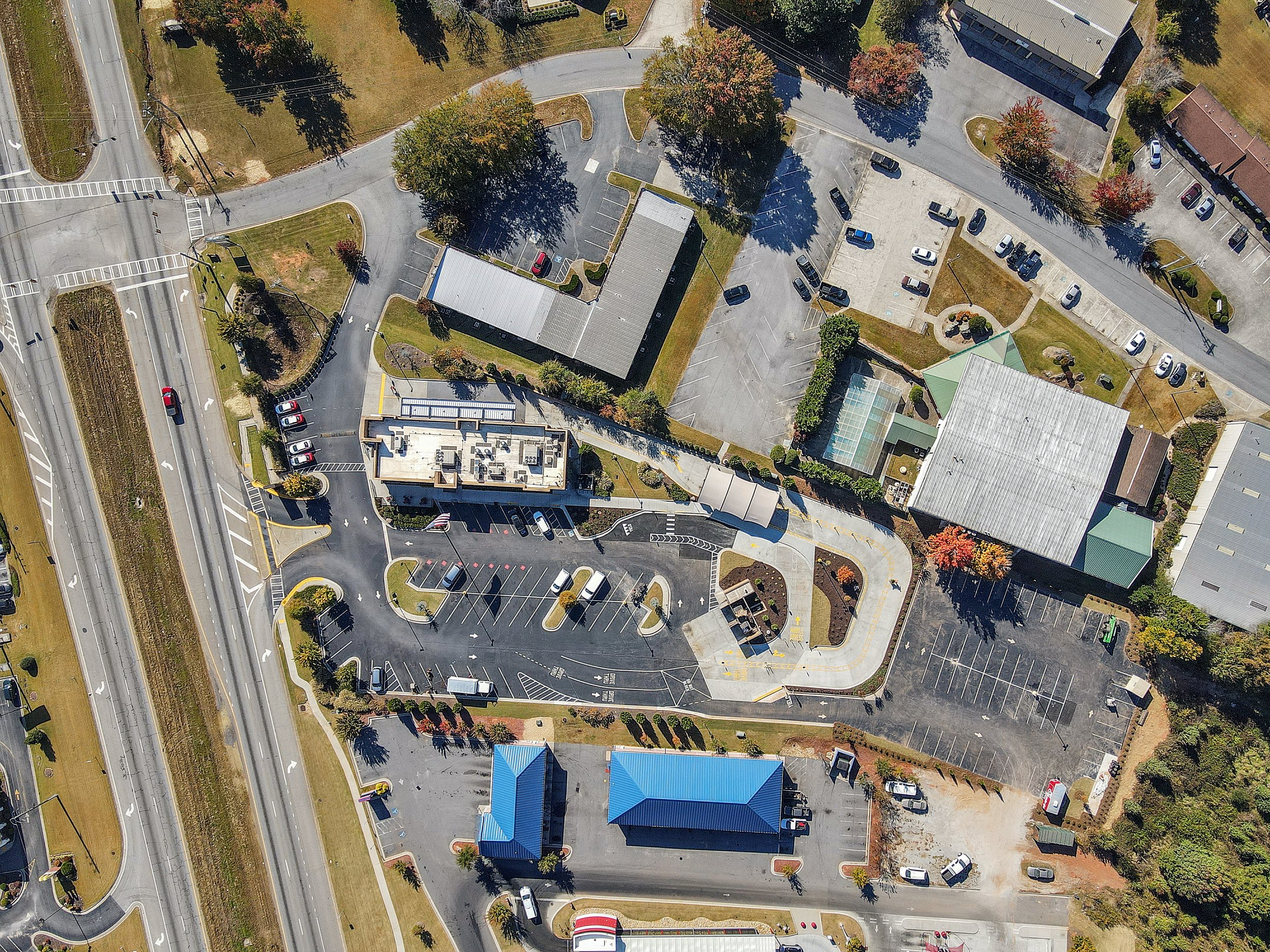
Drone mapping is the use of unmanned aerial vehicles (UAVs) equipped with cameras and other sensors to capture images and data of a specific area from an aerial perspective. These images and data are then processed using specialized software to create maps and 3D models of the area, providing a high-resolution, detailed view of the terrain, structures, and features.
Orthomosaic maps are one of the most common types of maps produced through drone mapping. They are created by stitching together multiple overlapping aerial images of an area to create a single high-resolution image that is geometrically corrected, giving it the appearance of an aerial photograph. Orthomosaic maps provide an accurate and detailed view of the area, allowing for measurements to be taken and features to be identified with precision.
Orthomosaic maps are used in a variety of industries, including agriculture, construction, surveying, and urban planning. They are particularly useful for land surveys, environmental assessments, and site inspections. The maps can be used to identify changes in topography, track the growth of crops, or evaluate the progress of construction projects. They can also be used to identify potential hazards, such as flood-prone areas, or to plan for infrastructure development.


